
Discovering Jockey’s Ridge Anew
What began as a visit to see the park’s new accessible boardwalk became an eye-opening journey through forests, wetlands, dunes, and unexpected beauty.
Story and Photography By Betsy DiJulio
We all know it is dangerous to make assumptions. In this case, there was no danger involved, just deprivation.

My husband Bob and I built a home in Southern Shores in 2021, making countless passes down NC 12/Hwy 158 in the ensuing years to explore points south. The Alligator River Refuge, Manteo, and Roanoke Island have been frequent destinations. This means we have passed Jockey’s Ridge State Park the same number of times.
White, glistening dunes peaks—the tallest active sand dune system in the eastern US—glimpsed from the road always signaled to my apparently narrow mind three things: hang gliding—I am a hiker, not a hang glider—scorching hot sand in summer, and year-round grit.
The completely free park’s 427 acres stretch from the beaches of the Roanoke Sound on the west to NC12/Hwy 158 on the east, with the dune tops affording unparalleled views of the sound, ocean, and iconic landmarks to the north and south. Still, I had never been enticed. But having recently read about the new boardwalk that opened in May and stretches to the Eastern terminus of the Mountains-to-Sea Trail, my interest was piqued.
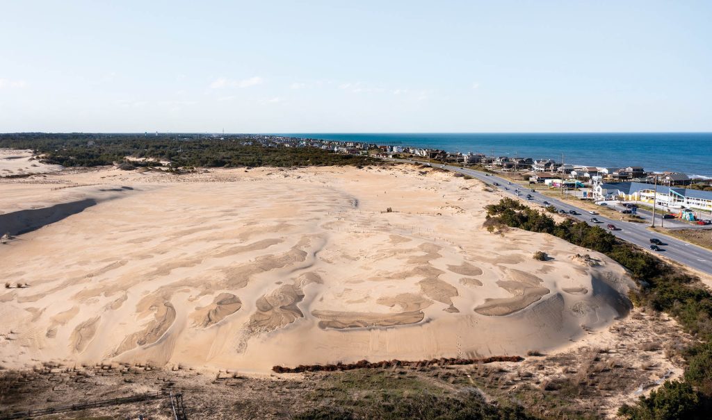
Aerial view of Jockeys Ridge State Park Sand Dunes Looking Across Highway 12 to the Ocean
Bob and I decided to explore on one of those summer days when the sky is intensely blue, dotted with a few, almost comical, cartoonish clouds. As we turned into the park grounds, I was surprised to find the road lined with dense forest—wax myrtle, loblolly pine and live oaks—which appealed immediately. The parking lot, too, was ringed with similar vegetation.
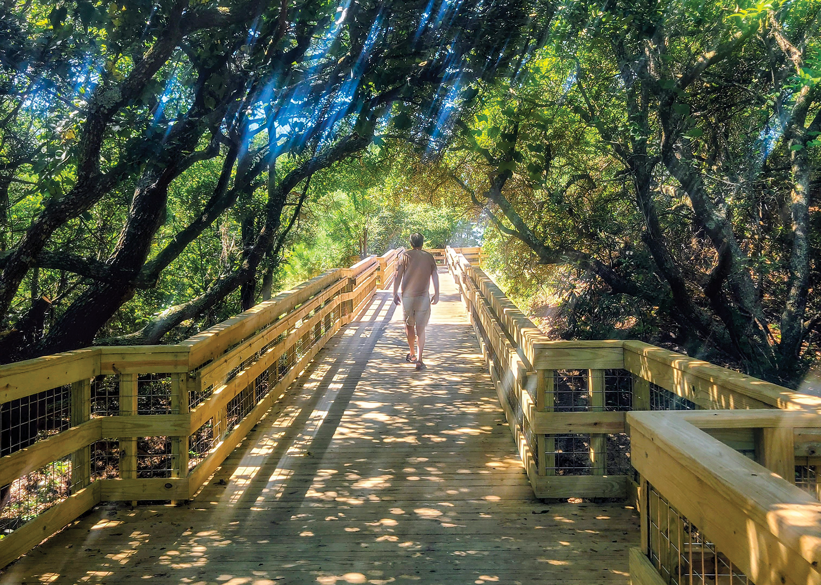
After reading a couple of wayfinding signs, we struck off on one sun dappled path that led through the forest. But we could see it was taking us toward dunes about the same time we realized the boardwalk was off to our left. We retraced our steps and headed off down another path located near the visitor center and public restrooms. This one connected us to the new pristine and fully accessible boardwalk that replaced a 360-foot version. At 8-feet wide and 1,600-feet long, it is a nearly 1/3-mile artery into the heart of the park, a collaborative undertaking of state park resources and the nonprofit advocacy group, Friends of Jockey’s Ridge.
Immediately enchanted, we started walking and didn’t want it to end. Bob, who is not the walker I am, found it “easy, enlightening, and beautiful.” With wider planks than its aging forebear, this elevated boardwalk sports covered gazebo-style shade pavilions, lean-out rest benches, and interpretive panels. With bi-level hand railings and hog wire fencing lining the spaces between the vertical posts, the look is modern, rustic, and open, even for those in wheelchairs or strollers, not to mention safe. The wide mesh grid pattern blends into the natural setting, allowing unobstructed views of the water, plants, and sand while preventing anyone from falling through.
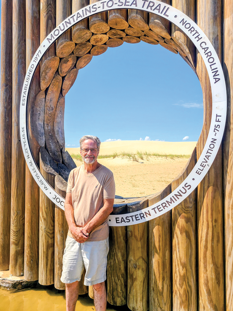
Few can resist a photo opp at the iconic marker indicating the eastern terminus of North Carolina’s 1,175-mile Mountains-to-Sea Trail.
We followed the boardwalk all the way to the end where it terminated in an expansive vernal pool just west of the popular hang-gliding dunes. Sometimes referred to as an ephemeral pool, these fleeting bodies of water appear only after a heavy rain or, in other parts of the world, a snow melt. This Gemini isn’t much of a water lover, but it took no convincing for me to slip off my Birks, descend the stairs—one of many access points to the terrain below—and wade in the delightfully cool and refreshing calf-high water.
A few yards away, the Instagram-able monument marking the terminus of the Mountains-to-Sea trail is a popular photo destination. An official unit of the North Carolina State Parks system and heavily supported by the Friends of the Mountain-to-Sea Trail, this 1,175-mile trek of foot paths, greenways, and back roads, starts in the Great Smoky Mountains National Park and winds through the Piedmont—rolling family farms, small towns, and major cities like Greensboro and Raleigh—before arriving at the peaceful swamps, pinewood forests, and rivers of the coastal region, terminating at the oceanfront in Nags Head.
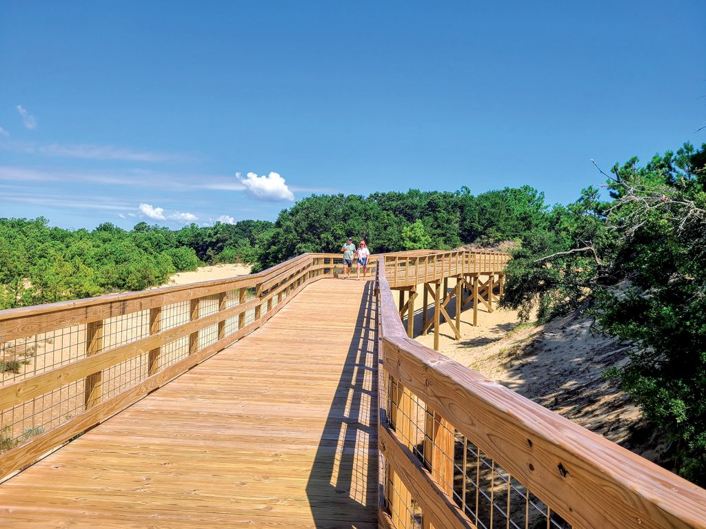
Long, gently angled stretches of pristine boardwalk create a meandering experience of the dunes, accessible to all.
Not ready to leave, I decided to explore sandy trails through the forest and scrubby vegetation on the west side of the parking lot. This was a solo jaunt, as Bob had reached his fill and it was quite hot. But I look forward to further investigation of that loose network, as well as returning to traverse other trails—the well-known Tracks in the Sand Trail that extends for 1.2 miles across open dunes and the soundside Nature Trail that loops through wetlands and thickets—and participate in programs and events.
Having deprived myself of this remarkable natural resource for years based on uninformed assumptions, I will be reminded in the future not to be so quick to judge.
Jockey’s Ridge State Park
300 W. Carolista Drive, Nags Head, NC
jockeys.ridge@ncparks.gov | 252.573.6108

Author: Betsy DiJulio