
Marshall AND Gussie Collins Walkway in Manteo
Story & Photos by Betsy DiJulio
ll roads lead to the Dare County Governmental Complex in Manteo. Well, at least Marshall C. Collins Drive and the Marshall and Gussie Collins Walkway do.
In the spring, on assignment for a story about DareA250 in the previous issue of Coastal Life, I was visiting with Dorothy Hester, the county’s public information director in her office at the Governmental Complex. As we sat talking, a bicycle helmet whizzed past the window. With my trail antenna always up, I abruptly interjected, “Is there a trail that leads past here?!” Without missing a beat, Hester enthusiastically answered in the affirmative and said she’d show me when I left.

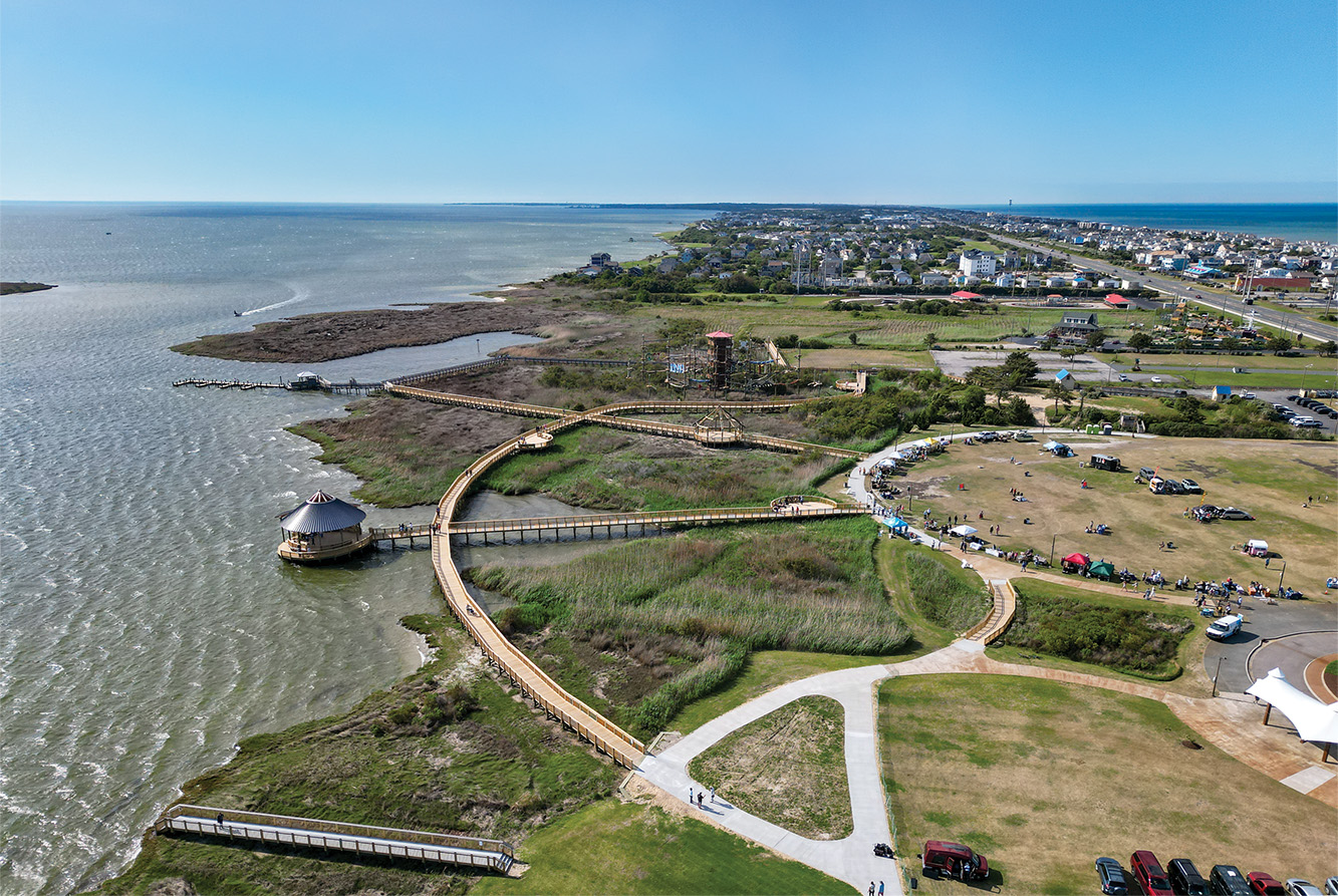
Dressed for a casual interview with footwear appropriate enough for a couple mile walk, I set off from the trailhead at the far end of the Complex. Meticulously groomed and maintained, the path—part crushed gravel-type material and part boardwalk—navigates through maritime forest and under the Virginia Dare Memorial Bridge. There a right turn leads through scenic coastal marshes parallel to the US 64 Bypass to an overlook on the Croatan Sound. A left turn cuts over to the Sarah Owens Welcome Center.
Completely enchanted with the trail, I wanted to know more, reading the historical markers and conducting online searches. The trail is named after Marshall (1898-1968) and Gussie (1896-1959) Collins, a well-respected African American couple who owned a home and farmland where the Governmental Complex now sits. In the 1990s, when it became apparent that the Dare County Courthouse was inadequate, the Collins family sold the land to the county for the express purpose of building such a complex.
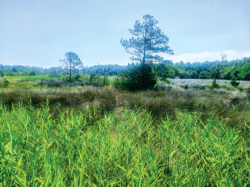
Views from the boardwalk section of the trail to the Croatan Sound are picturesque in every season.
Marshall farmed and crabbed on his land, served as caretaker of the old Skyco Lodge, and owned Marshall’s Seafood, believed to be the first African American owned business in downtown Manteo; Gussie tended to their home. The couple, who had 10 children, eight boys and two girls, was known for their industry, integrity, and intense devotion to family and to friends across the racial divide.
My research kept referring to how the trail connects the Governmental Complex to the Coastal Studies Institute in the unincorporated village of Skyco via the Welcome Center. It does, but I learned that it is a little tricky and I was baffled trying to piece it together from online sources. It took two more visits to connect the dots.
On the first of those visits, on a very warm Friday in June, I had about 45 minutes to explore before another interview and home tour in Manteo. I drove to the Welcome Center, which was closed for construction, parallel parked, and started investigating. On the US 64 side, I spied a trailhead whose marker indicated I was in the right place. It connected back to the juncture I was familiar with from my first walk starting at the Complex.
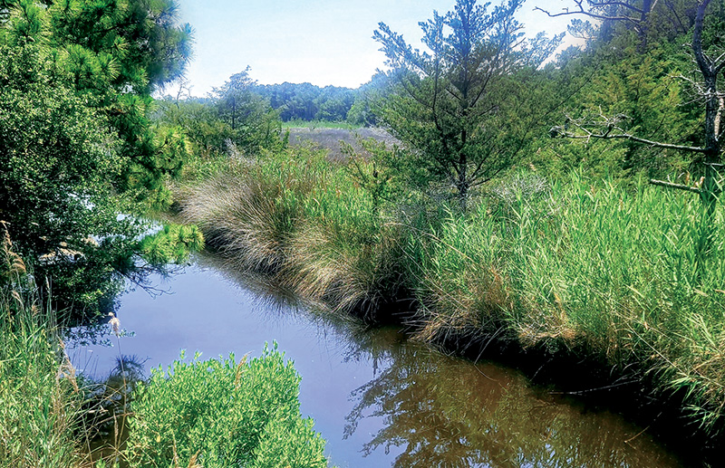
Adjacent to the US Route 64 Bypass and Virginia Dare Memorial Bridge, waterways meander through the coastal marshes, reflecting broad expanses of sky.
Next, I drove around to the back of the Welcome Center and parked in a legitimate, shady spot. A break in the tree line revealed a few wooden steps that led down to a fixed dock where I was instantly captivated by the picturesque tones and textures that are North Carolina coastal wetlands. Abutting civilization, they exist as worlds apart.
A few yards away was a trailhead and historical marker. The round blue blaze let me know I was on the right path. My efforts were rewarded by pristine boardwalks with railings leading through that iconic marshland. This part of the trail passes an intimate cemetery in the woods and terminates at the northern end of Toler Road (sometimes misspelled “Toller,” as it is on at least one marker) in Manteo.
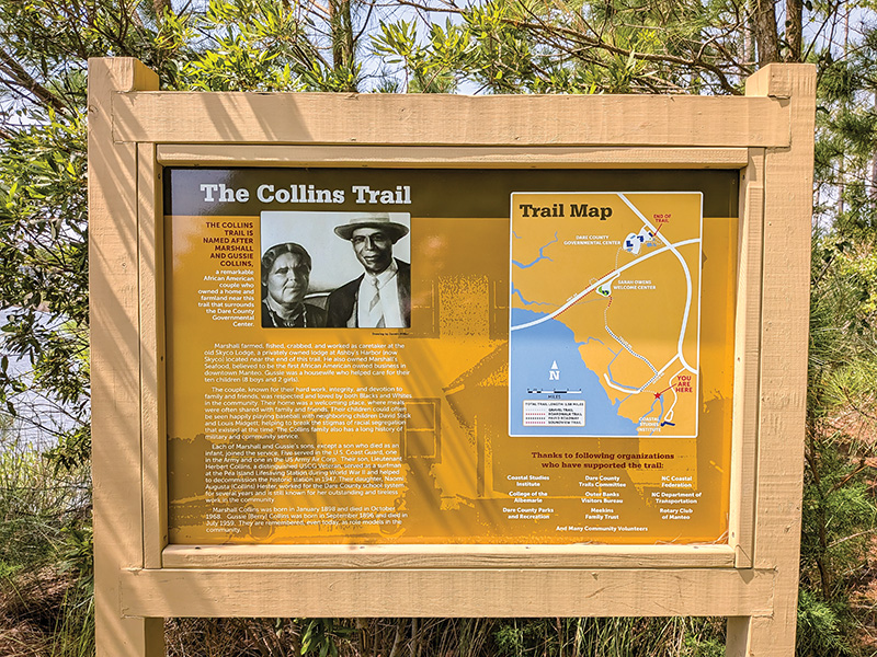 There you will find another historical marker about the Collins Family Homestead. The blue blaze and an arrow indicated I should keep walking down Toler Road through a pleasant neighborhood to pick up the trail to the Coastal Studies Institute. However, after walking a quarter mile or so, eyes peeled for the next trailhead, I saw no sign. Temperatures were in the 90s and a few black flies tried to hitch a ride, so I headed back to my car.
But I couldn’t share a story about Collins Walkway without understanding how Point A connects to Point B; plus, I wanted to know what I might be missing. The next Sunday, I returned with my intrepid husband. We drove southeast down NC-345 and first turned right on Water Plant Road which, as it turns out, is not a paved road, though it appeared to be on our online map.
As we bumped along in his truck, we realized it is more of a service road for the water plant, and it is blocked at the far end. We returned—by backing up for a long stretch—to NC-345 and drove a little further down, turning right on Skyco Road, and then right again on Toler Road. We continued to the northern end where the Collins Homestead marker sits without seeing any signs of an additional trailhead.
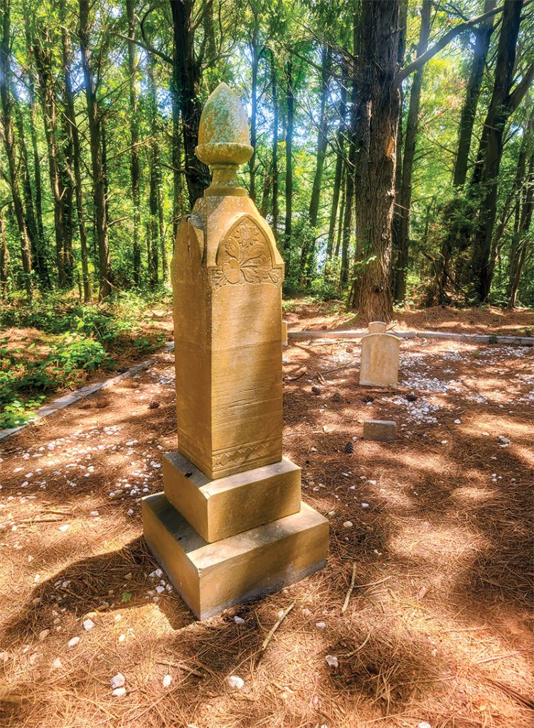
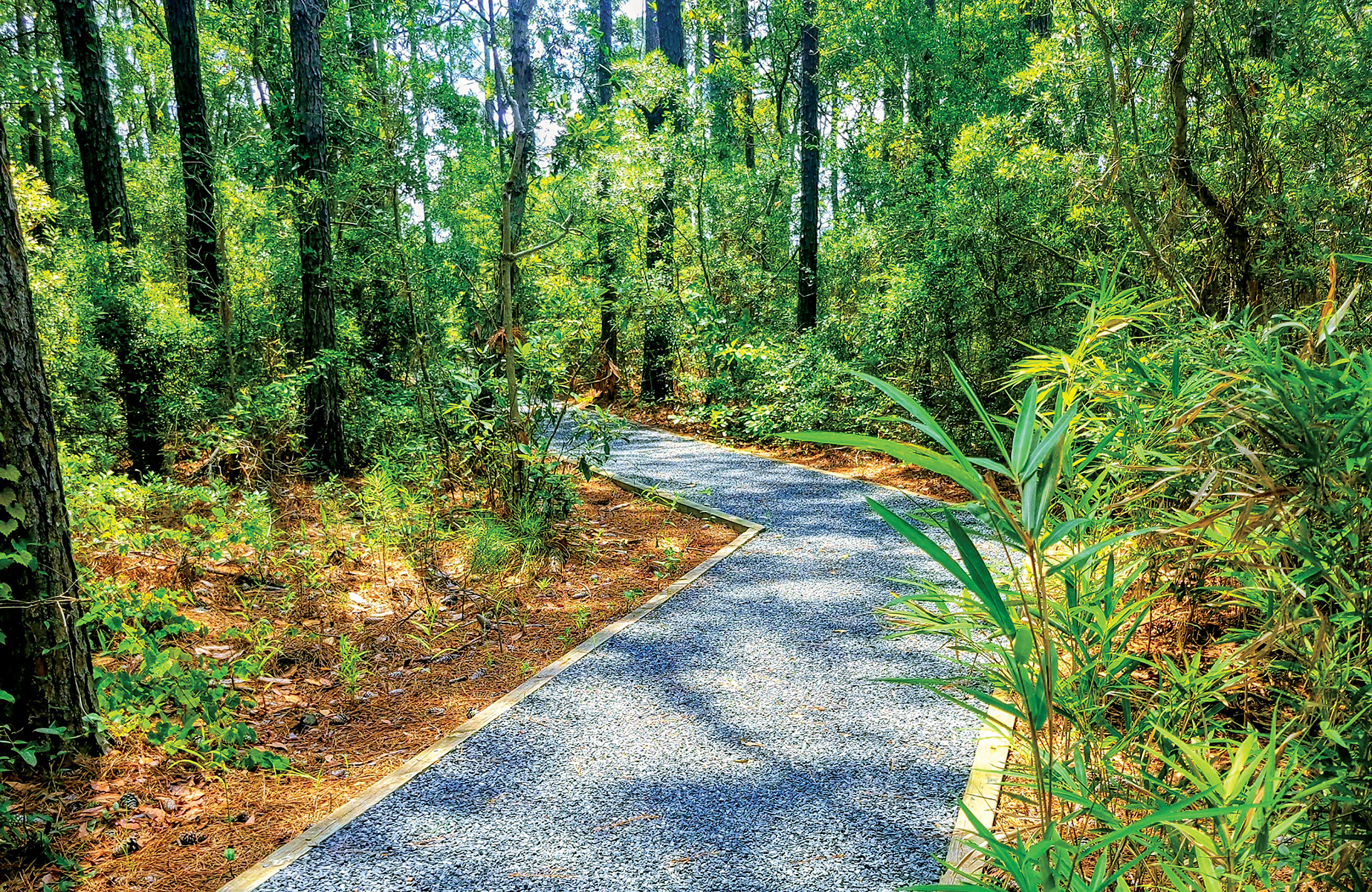
Dappled light dances across carpets of pine needles and the Willis/Hayman Cemetery between the Sarah Owens Welcome Center and Toler Road.
We returned again to NC-345 and drove just a bit further down to the Coastal Studies Institute, staying right as we entered the campus. Straight in front of us was a private boat launch and, at the end of it on the right-hand side, I saw a hopeful sign. Indeed, it was a very informative historical marker, blue blaze and all, showing the entire trail, including the missing stretch between where I stood and the northern end of Toler Road.
I zig-zagged through exquisite wetlands and maritime forest beneath a pristine and cool—relatively speaking—canopy along a meticulously manicured trail of crushed gravel and landscape timbers. Towering loblolly pines and shimmering reflective pools lined my way. This section of the trail is just under a quarter mile, and I wish it had continued much further. It terminated on a dirt driveway at a post with a blue blaze, arrow, and Skyco Airport historical marker. This trailhead is just a few yards from Skyco Road, but it is around a slight curve, and not easily visible from the street. If you come from the north, look instead for the street number 343 on a wooden sign.
To connect to the Welcome Center, you walk northeast along Skyco Road for maybe an eighth of a mile before turning left and walking northwest about one-third of a mile up Toler Road to the very end where you will see the Collins Homestead marker. Then the path leads through the woods to the Welcome Center. From there, you wrap around to the front and the well-marked trailhead. A short boardwalk leads to the juncture at which point going under the bridge and to the right leads to the Governmental Complex or turning left leads to the Croatan Sound overlook.
Mystery solved! But if you want to avoid walking on the street, parking at the rear of the Governmental Complex and doing a 2-mile total out-and-back to the overlook is a pleasant and quite beautiful walk. I found the marshes so immersive in fact that I barely registered the road noise as I paralleled the bridge.
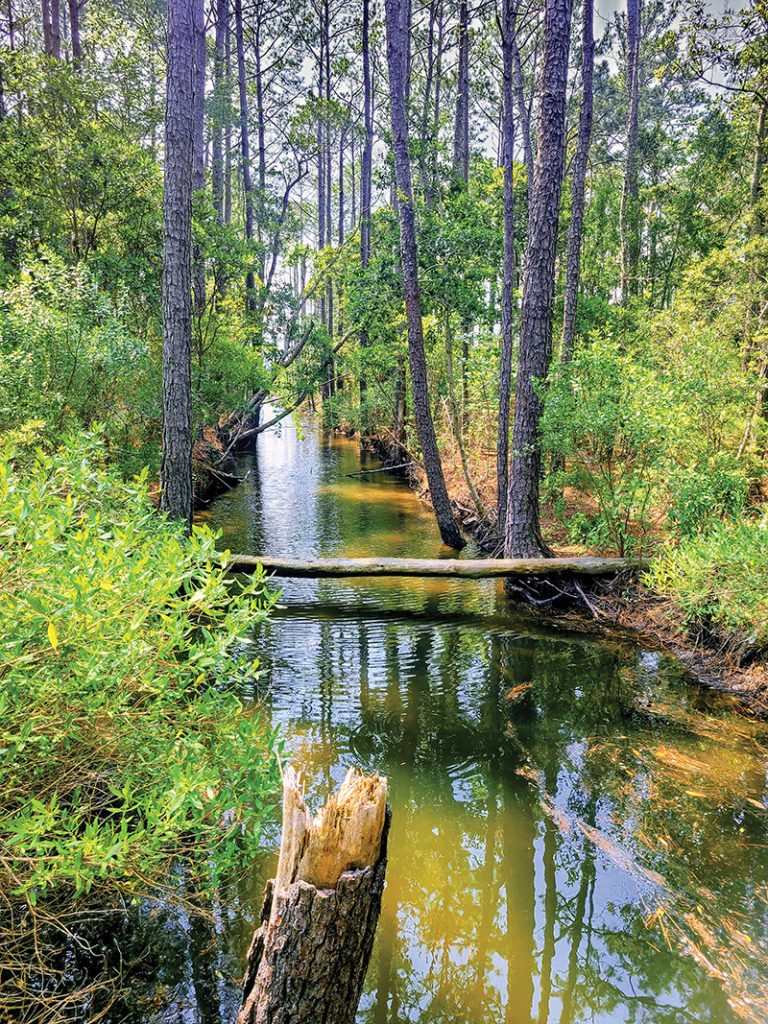
The trails are as pristine as the maritime forest near the Coastal Studies Institute.

Author: Betsy DiJulio